Deep Learning AI applied on satellite images gives limitless data possibilities. We at ‘DLAI Satellite Data’ innovated Satellite Data Extraction Engines capable of producing data on large geographies of size more than 100 Sq Meters.
Satellite Image technology is very promising for collecting large and high frequency geographic data. Number of satellites revolving around the Earth are increasing exponentially every year. These satellites collect huge image sets which require manual intervention to turn them in meaningful data.
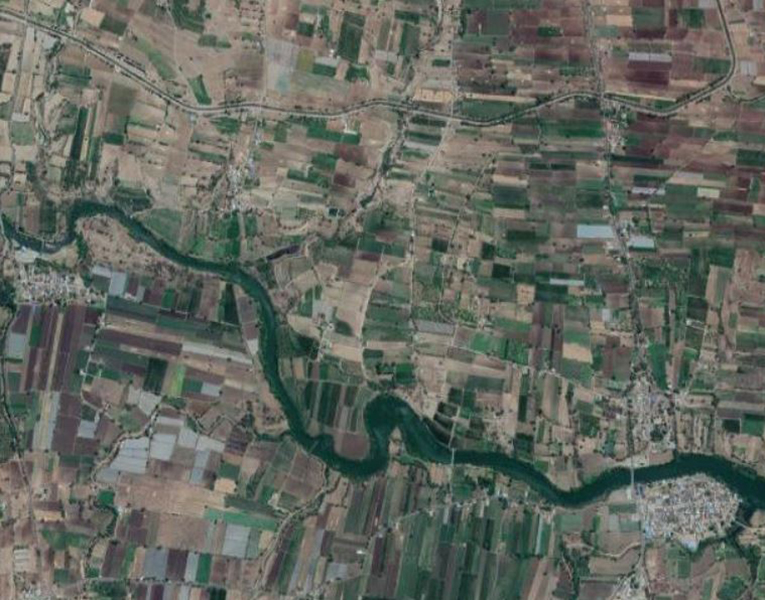
Diverse capability of Satellite Data Extraction Engine is disrupting existing traditional data sources and collection methods. Accuracy and scale are 2 distinct features of Data Extraction Engine
Data extraction from large geographic images is human labor-intensive work which need to be performed at high frequency. Example- Identifying buildings on images every week to track progress of construction work.
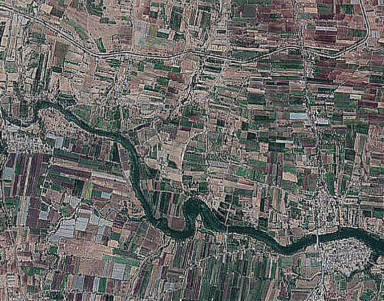
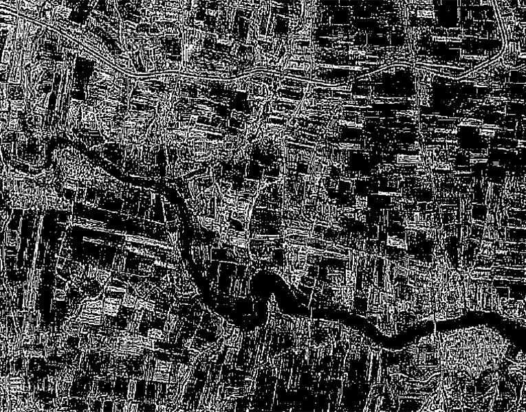
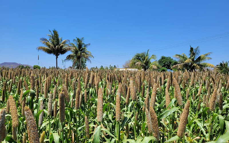
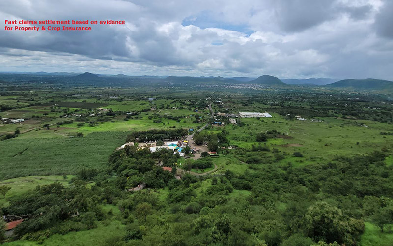
Satellite Data Extraction Engine is rapidly adding new data sets ie buildings, roads, crops, water sources, forest cover, mines. Future holds great promise as satellites are exponentially evolving in resolution, ground parameters and numbers.
There are many AI data extraction interventions attempted on satellite images. Success of such interventions is limited to small images at 'proof of concept' level. Major challenge in AI usage is diversity of objects appearing on satellite images ie man-made structures, farms, forests, roads, vehicles, mountains, rivers etc. Also, we see environmental factors like cloud cover, haze etc affecting object identification and data extraction.
